
The city of Pittsburgh has 90 neighborhoods spread across its 58.3 square miles. Seems like a lot, right? Mt. Lebanon, at slightly more than a tenth the size of the city, has 23 neighborhoods tucked into its 6.2 square miles.
In 2017, in conjunction with the developing of an ordinance covering neighborhood signs, such as the ones in Mission Hills and Cedarhurst Manor, Mt. Lebanon’s Geographic Information Services technician Michael Meseck developed a map on the municipality’s neighborhoods.
Working from a book about Mt. Lebanon neighborhoods, published by the public information office in the late 1970s or early 1980s, Meseck took the boundaries of 18 named but loosely designated areas and matched the houses in each with a layer of master plans of lots. Those master plans show which houses were included when that section of town was developed. He then incorporated physical boundaries such as streets, and after some fine tuning came up with a colorful map that shows the names and defines the borders of all of Mt. Lebanon’s neighborhoods.
Before Mt. Lebanon was incorporated in 1912, it was part of Scott Township, which was still largely rural. In 1902, a year after the Pittsburgh & Birmingham Traction Company began trolley service between Pittsburgh and the South Hills, developers offered the Clearview Plan of Lots, which extended along Washington Road from Cochran Road to Oak Way. The homebuilders chose the name Clearview as an alternative to the smoky skies of the city.
In 1905, developers sold lots in the Avondale Plan, on the other side of Washington Road, extending east to Scott Road and Castle Shannon Boulevard. As with Clearview, the big selling point was the proximity to the trolley lines.
Mt. Lebanon saw its first building boom in 1924, following the opening of the Liberty Tunnels and the increasing use of automobiles. (By 1934, Mt. Lebanon had 3,460 houses and almost 4,000 cars.) Development moved east to Sunset Hills, which stretches from Avondale to the Dormont border, and north to Parker Gardens, which encompasses Beverly Road, the eastern end of Bower Hill Road and extends north to Newburn Drive. Sunset Hills grew rapidly, with homes that gave a snapshot of early 20th century styles of architecture, with a mix of Craftsman bungalows, foursquares and Dutch Colonials.
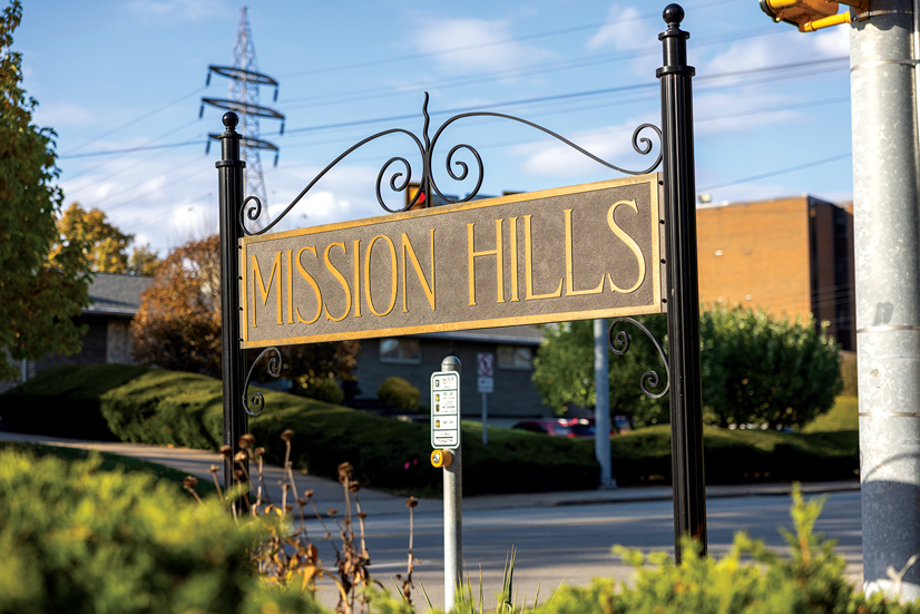
Around the same time, developer Lawrence Stevenson, founder of the Stevenson Williams Company and one-time president of the National Association of Real Estate Boards (now the National Association of Realtors), was beginning work on Mission Hills, which he modeled after a Kansas City neighborhood with the same name. Mission Hills in Kansas City was one of the first suburbs to be designed with the automobile in mind, with streets that followed the topography of the land, instead of being laid out as a grid. Stevenson took the ideas of Mission Hills, Kansas, developer Jesse Clyde Nichols, who was influenced by the work of Frederick Law Olmsted, the landscape designer responsible for New York City’s Central Park, and park systems in Buffalo, Louisville and Milwaukee. Orchard Drive in Mission Hills dates back to the days before the area was developed, when it was mostly orchards of fruit trees.
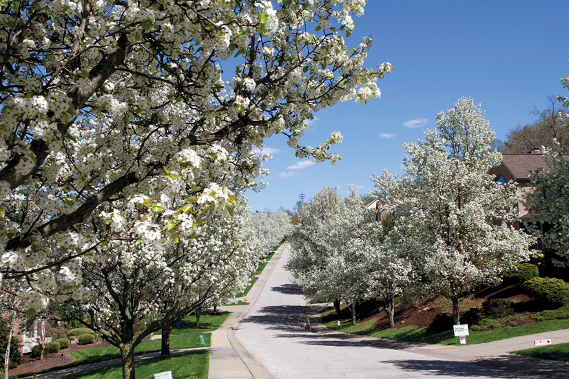
Stevenson also developed Beverly Heights, in the area surrounding Markham Elementary School. Designed in a similar fashion as Mission Hills, the neighborhood’s streets follow the contours of the landscape. Stevenson Williams bought the land, bounded by Beadling Road to the northeast and southwest to Gilkeson Road, from the descendants of Findley Gilkeson, one of the area’s early settlers.
While Mission Hills was evolving as one model for innovative suburban planning, on the other side of town, James Duff initiated the development of another landmark neighborhood, Virginia Manor. Duff, who later served as Pennsylvania’s governor and as U.S. senator, designed the neighborhood with strict guidelines. Owners of lots agreed to hire private architects, and their deeds stipulated lot size, frontage and building materials.
After 1929, the manor expanded across Cochran Road to the Osage/Valleyview circle, where lots were created out of the Bell farm and orchard, and streets emerged one circle at a time.
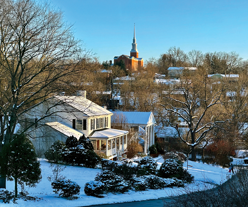
In the early 1930s, the Pittsburgh Coal Company sold its property to the Cedarhurst Manor Land Company. With a boundary that runs from Bower Hill Road southeast to Cedar Boulevard, Cedarhurst is home to most of Mt. Lebanon’s “wood” streets — Driftwood, Firwood, Pinewood, Arrowood, Harwood and Maplewood. The area saw new construction during the postwar building boom of the late 1940s, with subsequent additions through the 1970s. Cedarhurst is home to Cedar Lake, originally a coal washing facility. The lake was once a popular fishing and ice skating spot, but now is surrounded by private property.
Although Mt. Lebanon’s neighborhoods map lists Arlington Park as part of Sunset Hills, some residents may beg to differ. Established in 1874, Arlington Park thrived as a Methodist camp meeting ground thanks to a Pittsburgh & Castle Shannon Railroad depot located near the present-day Lebanon Shops in Castle Shannon The camp drew thousands every summer, as camp meeting tents gave way to summer cottages and eventually year-round homes.
One way to designate individual neighborhoods is with a sign, much like the famed Mission Hills sign. If you and your neighbors are interested in bringing a sign to your neighborhood, you need to begin by submitting a petition signed by a majority of neighborhood residents stating your intention to pay for the fabrication, installation and maintenance of the sign. You can view the sign ordinance with all the necessary information at mtlebanon.org/neighborhood-sign-Info [1].